River Stort at Bishop's Stortford
Introduction
The photograph on this page of River Stort at Bishop's Stortford by Thomas Nugent as part of the Geograph project.
The Geograph project started in 2005 with the aim of publishing, organising and preserving representative images for every square kilometre of Great Britain, Ireland and the Isle of Man.

There are currently over 7.5m images from over 14,400 individuals and you can help contribute to the project by visiting https://www.geograph.org.uk
River Stort at Bishop's Stortford
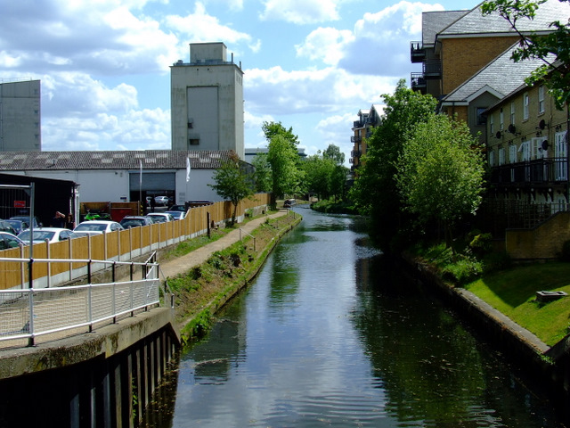
Image: © Thomas Nugent Taken: 9 May 2011
The end of the navigable part of the river, viewed from the bridge at The Causeway. Trees and bushes have recently been cleared from the left side of the river.
Images are licensed for reuse under creativecommons.org/licenses/by-sa/2.0
Image Location
Latitude
51.868939
Longitude
0.162896