Farm buildings at Nantyrhwch, Powys
Introduction
The photograph on this page of Farm buildings at Nantyrhwch, Powys by Roger D Kidd as part of the Geograph project.
The Geograph project started in 2005 with the aim of publishing, organising and preserving representative images for every square kilometre of Great Britain, Ireland and the Isle of Man.

There are currently over 7.5m images from over 14,400 individuals and you can help contribute to the project by visiting https://www.geograph.org.uk
Farm buildings at Nantyrhwch, Powys
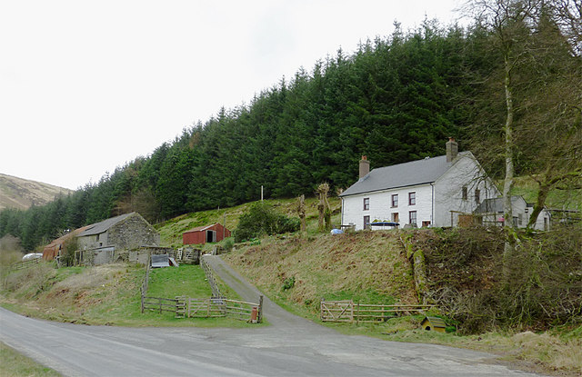
Image: © Roger D Kidd Taken: 31 Mar 2011
The house was destroyed by fire about fifteen years ago, but has now been rebuilt around what was only walls. July 2006 Image
Images are licensed for reuse under creativecommons.org/licenses/by-sa/2.0
Image Location
Latitude
52.189131
Longitude
-3.743877