Field by Madgeon Lane
Introduction
The photograph on this page of Field by Madgeon Lane by Derek Harper as part of the Geograph project.
The Geograph project started in 2005 with the aim of publishing, organising and preserving representative images for every square kilometre of Great Britain, Ireland and the Isle of Man.

There are currently over 7.5m images from over 14,400 individuals and you can help contribute to the project by visiting https://www.geograph.org.uk
Field by Madgeon Lane
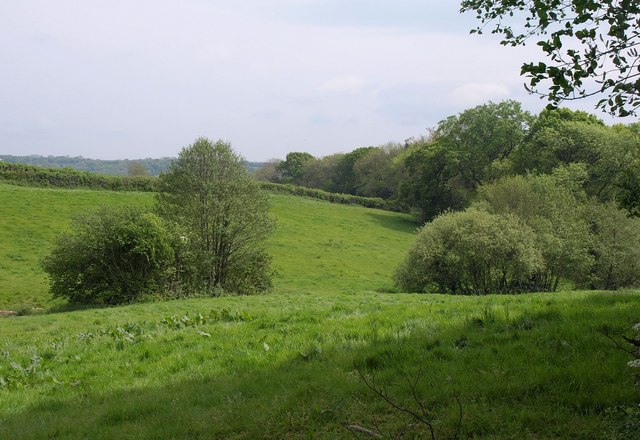
Image: © Derek Harper Taken: 7 May 2011
The lower part of the field shown in Image, seen from the same spot, with intermittent trees following a small tributary of the Yarty. The field is crossed by footpath CH 3/44. The wood is Suck's Rough Plot.
Images are licensed for reuse under creativecommons.org/licenses/by-sa/2.0
Image Location
Latitude
50.917086
Longitude
-3.065304