Branscombe - The Bank
Introduction
The photograph on this page of Branscombe - The Bank by Derek Harper as part of the Geograph project.
The Geograph project started in 2005 with the aim of publishing, organising and preserving representative images for every square kilometre of Great Britain, Ireland and the Isle of Man.

There are currently over 7.5m images from over 14,400 individuals and you can help contribute to the project by visiting https://www.geograph.org.uk
Branscombe - The Bank
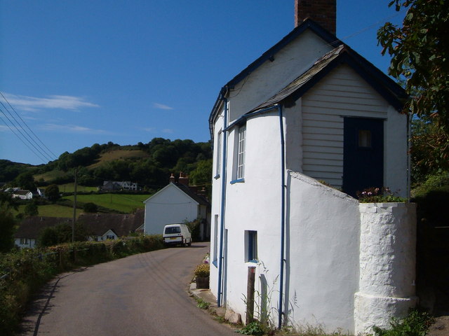
Image: © Derek Harper Taken: 15 Sep 2006
The end of a terrace of cottages in the "Bridge" hamlet (Branscombe is made up of at least 4 hamlets scattered along this valley). In the background, out of square, are houses near the church, with the village school on the slopes of Clapp's Hill.
Images are licensed for reuse under creativecommons.org/licenses/by-sa/2.0
Image Location
Latitude
50.692252
Longitude
-3.133397