Hounslow: The Windsor Castle
Introduction
The photograph on this page of Hounslow: The Windsor Castle by Nigel Cox as part of the Geograph project.
The Geograph project started in 2005 with the aim of publishing, organising and preserving representative images for every square kilometre of Great Britain, Ireland and the Isle of Man.

There are currently over 7.5m images from over 14,400 individuals and you can help contribute to the project by visiting https://www.geograph.org.uk
Hounslow: The Windsor Castle
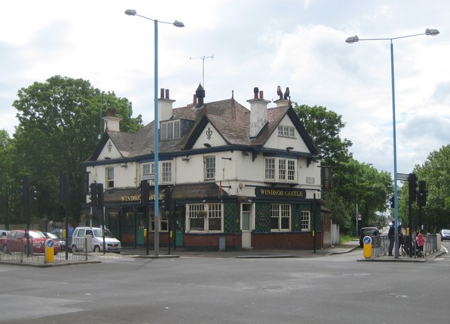
Image: © Nigel Cox Taken: 8 May 2011
Old Victorian Ordnance Survey maps show that there was a Windsor Castle public house here, at the junction of Bath Road with Wellington Road North, as early as 1865. The 1865 map also shows a Belgrave Brewery a little way south of the pub down Wellington Road North.
Images are licensed for reuse under creativecommons.org/licenses/by-sa/2.0
Image Location
Latitude
51.469763
Longitude
-0.378123