Approaching Westhay Farm
Introduction
The photograph on this page of Approaching Westhay Farm by Derek Harper as part of the Geograph project.
The Geograph project started in 2005 with the aim of publishing, organising and preserving representative images for every square kilometre of Great Britain, Ireland and the Isle of Man.

There are currently over 7.5m images from over 14,400 individuals and you can help contribute to the project by visiting https://www.geograph.org.uk
Approaching Westhay Farm
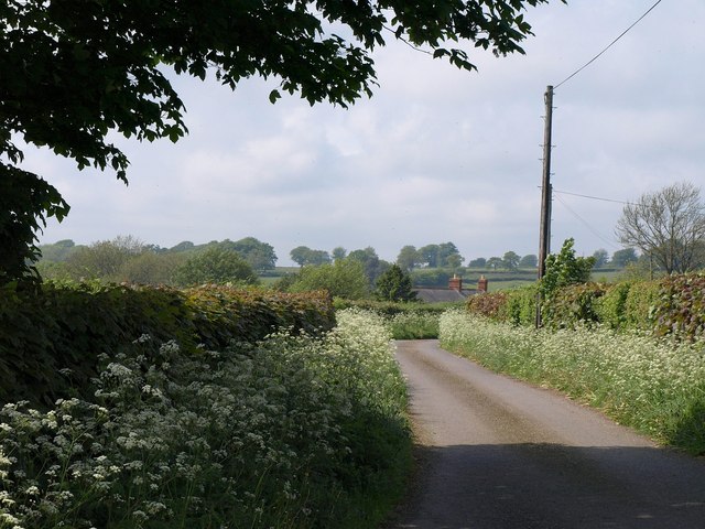
Image: © Derek Harper Taken: 7 May 2011
The farmhouse's roof and chimneys can be glimpsed. The lanesides are smothered with cow parsley. Taken from beneath a sycamore at the junction with Farm Lane.
Images are licensed for reuse under creativecommons.org/licenses/by-sa/2.0
Image Location
Latitude
50.930292
Longitude
-3.086239