Heath Lane, Carlton Scroop
Introduction
The photograph on this page of Heath Lane, Carlton Scroop by Simon Mortimer as part of the Geograph project.
The Geograph project started in 2005 with the aim of publishing, organising and preserving representative images for every square kilometre of Great Britain, Ireland and the Isle of Man.

There are currently over 7.5m images from over 14,400 individuals and you can help contribute to the project by visiting https://www.geograph.org.uk
Heath Lane, Carlton Scroop
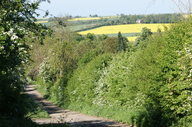
Image: © Simon Mortimer Taken: 2 May 2011
Looking downhill from adjacent to the telecommunications mast. Carlton Scroop Hall can be seen in the distance.
Images are licensed for reuse under creativecommons.org/licenses/by-sa/2.0
Image Location
Latitude
52.999197
Longitude
-0.57666