The Forth and Clyde Canal
Introduction
The photograph on this page of The Forth and Clyde Canal by Lairich Rig as part of the Geograph project.
The Geograph project started in 2005 with the aim of publishing, organising and preserving representative images for every square kilometre of Great Britain, Ireland and the Isle of Man.

There are currently over 7.5m images from over 14,400 individuals and you can help contribute to the project by visiting https://www.geograph.org.uk
The Forth and Clyde Canal
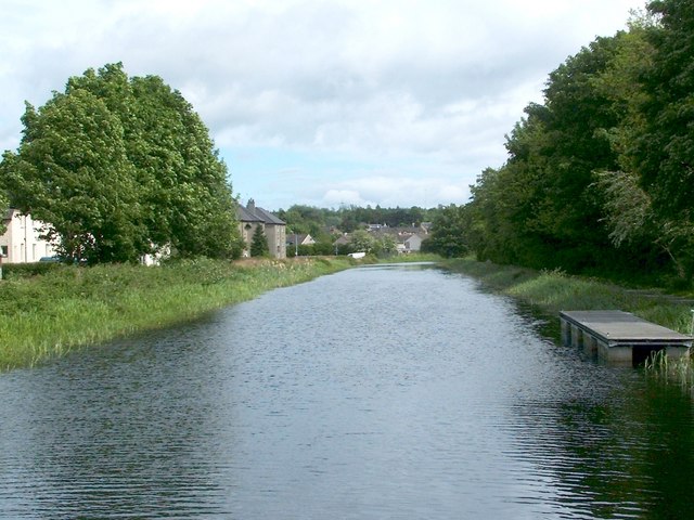
Image: © Lairich Rig Taken: 14 May 2011
This picture was taken with the Domesday Reloaded project in mind, and was an attempt to recreate an older photograph, which could (at the time) be seen at the BBC's Domesday Reloaded site. Both pictures were taken from Image In the present photograph, the trees to the left (north) of the canal hide some of the buildings that appear in the original photograph, but those buildings, which are alongside Portpatrick Road, appear much the same now as they did then (my photograph was carefully cropped so that if the original photo and this one are resized to the same dimensions, then the buildings are in precisely the same place in each).
Images are licensed for reuse under creativecommons.org/licenses/by-sa/2.0
Image Location
Latitude
55.925691
Longitude
-4.466761