The northern edge of Poulter Country Park
Introduction
The photograph on this page of The northern edge of Poulter Country Park by Sally Holmes as part of the Geograph project.
The Geograph project started in 2005 with the aim of publishing, organising and preserving representative images for every square kilometre of Great Britain, Ireland and the Isle of Man.

There are currently over 7.5m images from over 14,400 individuals and you can help contribute to the project by visiting https://www.geograph.org.uk
The northern edge of Poulter Country Park
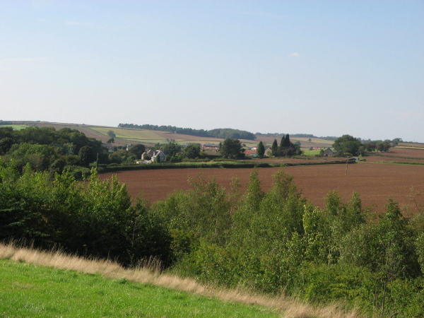
Image: © Sally Holmes Taken: 9 Sep 2006
The fields around what was once Langwith pit tip show little sign of their industrial recent past, and the village of Whaley enjoys rural views once more.
Images are licensed for reuse under creativecommons.org/licenses/by-sa/2.0
Image Location
Latitude
53.234397
Longitude
-1.222406