Severn Street, Worcester
Introduction
The photograph on this page of Severn Street, Worcester by P L Chadwick as part of the Geograph project.
The Geograph project started in 2005 with the aim of publishing, organising and preserving representative images for every square kilometre of Great Britain, Ireland and the Isle of Man.

There are currently over 7.5m images from over 14,400 individuals and you can help contribute to the project by visiting https://www.geograph.org.uk
Severn Street, Worcester
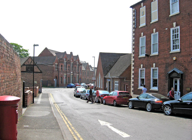
Image: © P L Chadwick Taken: 30 Apr 2011
Severn Street is a very long street, which as its name suggests eventually leads down to the River Severn. Originally it was known as Frog Lane. This end of the street is near the cathedral and Edgar Street. Until about 80 years ago, many houses in and around this street were occupied by families involved in the Worcester salmon fishing industry. This came to an end in 1929, when the netting of salmon was prohibited.
Images are licensed for reuse under creativecommons.org/licenses/by-sa/2.0
Image Location
Latitude
52.18755
Longitude
-2.219218