Greenwich Reach: development resumes
Introduction
The photograph on this page of Greenwich Reach: development resumes by Stephen Craven as part of the Geograph project.
The Geograph project started in 2005 with the aim of publishing, organising and preserving representative images for every square kilometre of Great Britain, Ireland and the Isle of Man.

There are currently over 7.5m images from over 14,400 individuals and you can help contribute to the project by visiting https://www.geograph.org.uk
Greenwich Reach: development resumes
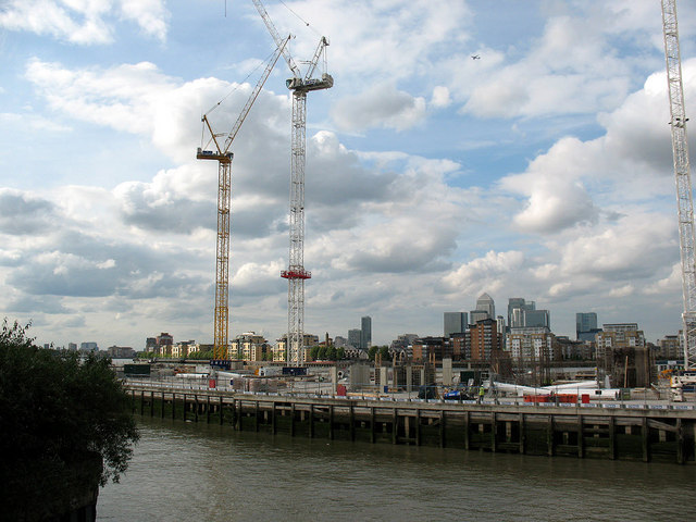
Image: © Stephen Craven Taken: 10 May 2011
The previous industrial buildings on this site were demolished in 2008, and it was only in May 2011 after the worst of the "credit crunch" that construction of the new development began. This photo records the view from Creek Road bridge across the undeveloped site towards the Isle of Dogs.
Images are licensed for reuse under creativecommons.org/licenses/by-sa/2.0
Image Location
Latitude
51.482832
Longitude
-0.017313