Brooking House, Ashprington
Introduction
The photograph on this page of Brooking House, Ashprington by Derek Harper as part of the Geograph project.
The Geograph project started in 2005 with the aim of publishing, organising and preserving representative images for every square kilometre of Great Britain, Ireland and the Isle of Man.

There are currently over 7.5m images from over 14,400 individuals and you can help contribute to the project by visiting https://www.geograph.org.uk
Brooking House, Ashprington
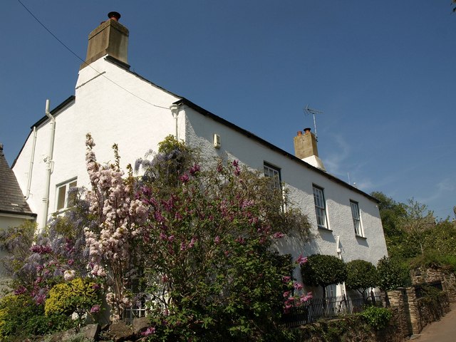
Image: © Derek Harper Taken: 20 Apr 2011
This C18 house faces the steep hill up through the village http://www.britishlistedbuildings.co.uk/en-100934-brooking-house-ashprington .
Images are licensed for reuse under creativecommons.org/licenses/by-sa/2.0
Image Location
Latitude
50.401146
Longitude
-3.663818