Hollinsend Road in Gleadless
Introduction
The photograph on this page of Hollinsend Road in Gleadless by Jonathan Clitheroe as part of the Geograph project.
The Geograph project started in 2005 with the aim of publishing, organising and preserving representative images for every square kilometre of Great Britain, Ireland and the Isle of Man.

There are currently over 7.5m images from over 14,400 individuals and you can help contribute to the project by visiting https://www.geograph.org.uk
Hollinsend Road in Gleadless
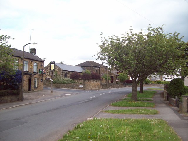
Image: © Jonathan Clitheroe Taken: 13 May 2011
Hollinsend Road pictured here at the junction with Gleadless Common. The pub on the left is the New Inn; the Gleadless United Reformed Church is situated in the centre of shot, and to the right, partially obscured by the trees is the local Conservative Club.
Images are licensed for reuse under creativecommons.org/licenses/by-sa/2.0
Image Location
Latitude
53.349895
Longitude
-1.427315