Churchill Estate, Helensburgh
Introduction
The photograph on this page of Churchill Estate, Helensburgh by Lairich Rig as part of the Geograph project.
The Geograph project started in 2005 with the aim of publishing, organising and preserving representative images for every square kilometre of Great Britain, Ireland and the Isle of Man.

There are currently over 7.5m images from over 14,400 individuals and you can help contribute to the project by visiting https://www.geograph.org.uk
Churchill Estate, Helensburgh
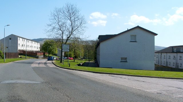
Image: © Lairich Rig Taken: 2 May 2011
This outlying area of the town consists of housing that was built for Ministry of Defence employees (see Image). From here on, the road is called Winston Road; behind the photographer's position, it is called Golfhill Drive. The picture was taken from the junction with Fisher Place (foreground right).
Images are licensed for reuse under creativecommons.org/licenses/by-sa/2.0
Image Location
Latitude
56.009814
Longitude
-4.710852