Pitfield Lane in Harwood
Introduction
The photograph on this page of Pitfield Lane in Harwood by Phil and Juliette Platt as part of the Geograph project.
The Geograph project started in 2005 with the aim of publishing, organising and preserving representative images for every square kilometre of Great Britain, Ireland and the Isle of Man.

There are currently over 7.5m images from over 14,400 individuals and you can help contribute to the project by visiting https://www.geograph.org.uk
Pitfield Lane in Harwood
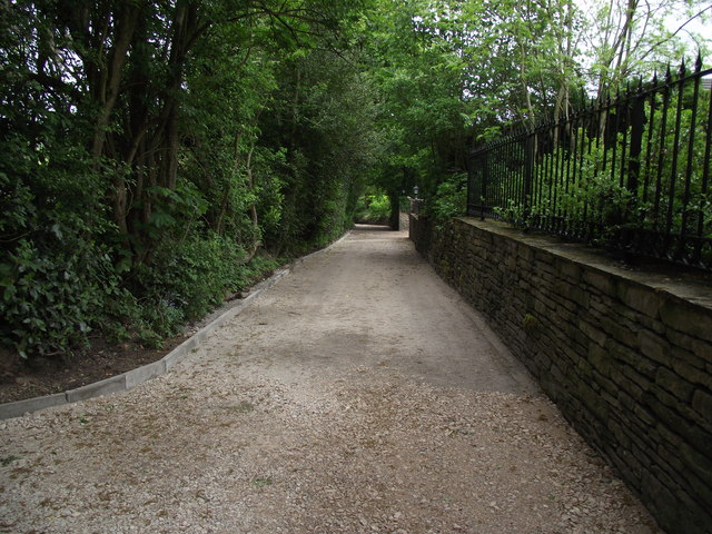
Image: © Phil and Juliette Platt Taken: 13 May 2011
Last week this lane was a dirt track. Today, kerbstones and compacted aggregate. Next week, tarmacadam?
Images are licensed for reuse under creativecommons.org/licenses/by-sa/2.0
Image Location
Latitude
53.59955
Longitude
-2.381051