The Clauchan Water at Torbeg
Introduction
The photograph on this page of The Clauchan Water at Torbeg by M J Richardson as part of the Geograph project.
The Geograph project started in 2005 with the aim of publishing, organising and preserving representative images for every square kilometre of Great Britain, Ireland and the Isle of Man.

There are currently over 7.5m images from over 14,400 individuals and you can help contribute to the project by visiting https://www.geograph.org.uk
The Clauchan Water at Torbeg
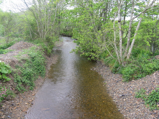
Image: © M J Richardson Taken: 11 May 2011
Looking upstream from the bridge between Shiskine and the A841 north of Blackwaterfoot.
Images are licensed for reuse under creativecommons.org/licenses/by-sa/2.0
Image Location
Latitude
55.519479
Longitude
-5.320179