Near Twenty Acres
Introduction
The photograph on this page of Near Twenty Acres by Derek Harper as part of the Geograph project.
The Geograph project started in 2005 with the aim of publishing, organising and preserving representative images for every square kilometre of Great Britain, Ireland and the Isle of Man.

There are currently over 7.5m images from over 14,400 individuals and you can help contribute to the project by visiting https://www.geograph.org.uk
Near Twenty Acres
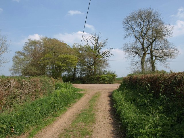
Image: © Derek Harper Taken: 19 Apr 2011
A track approaches a junction at a sharp bend on the road between Puddington and the B3137; also the junction from which Image was taken, looking up a track to the left.
Images are licensed for reuse under creativecommons.org/licenses/by-sa/2.0
Image Location
Latitude
50.895673
Longitude
-3.659342