War Memorial, Renton
Introduction
The photograph on this page of War Memorial, Renton by Lairich Rig as part of the Geograph project.
The Geograph project started in 2005 with the aim of publishing, organising and preserving representative images for every square kilometre of Great Britain, Ireland and the Isle of Man.

There are currently over 7.5m images from over 14,400 individuals and you can help contribute to the project by visiting https://www.geograph.org.uk
War Memorial, Renton
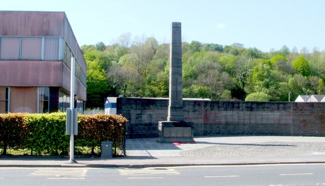
Image: © Lairich Rig Taken: 30 Apr 2011
The memorial is viewed here from across the main road. The building on the left is a school; for further context, see Image For more on the war memorial itself, see Image The curving wall behind the memorial relates, instead, to the neighbouring Smollett Monument, which also appears in the link in the first paragraph; see Image
Images are licensed for reuse under creativecommons.org/licenses/by-sa/2.0
Image Location
Latitude
55.969569
Longitude
-4.584305