Renton Road
Introduction
The photograph on this page of Renton Road by Lairich Rig as part of the Geograph project.
The Geograph project started in 2005 with the aim of publishing, organising and preserving representative images for every square kilometre of Great Britain, Ireland and the Isle of Man.

There are currently over 7.5m images from over 14,400 individuals and you can help contribute to the project by visiting https://www.geograph.org.uk
Renton Road
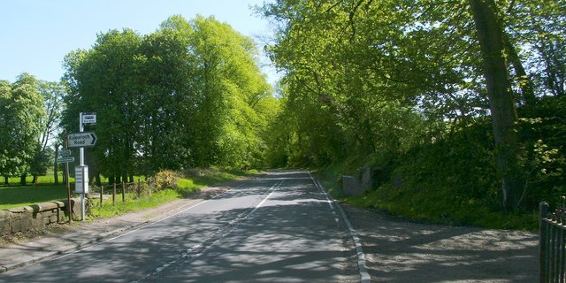
Image: © Lairich Rig Taken: 30 Apr 2011
The signposts to the left of the road indicate the Image, and of footpaths to Cardross and Hawthornhill. See also Image, looking back towards this junction.
Images are licensed for reuse under creativecommons.org/licenses/by-sa/2.0
Image Location
Latitude
55.957168
Longitude
-4.588445