Richmond Primary Care Centre
Introduction
The photograph on this page of Richmond Primary Care Centre by Michael Westley as part of the Geograph project.
The Geograph project started in 2005 with the aim of publishing, organising and preserving representative images for every square kilometre of Great Britain, Ireland and the Isle of Man.

There are currently over 7.5m images from over 14,400 individuals and you can help contribute to the project by visiting https://www.geograph.org.uk
Richmond Primary Care Centre
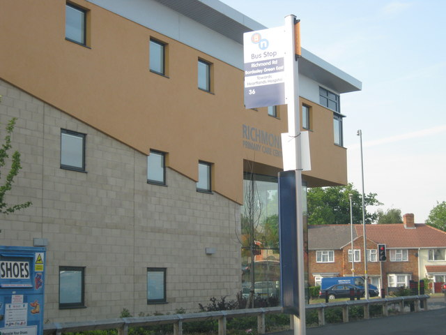
Image: © Michael Westley Taken: 4 May 2011
New health centre at junction of Richmond Road and Bordesley Green East http://benpct.nhs.uk/your-services/health-centres/richmond-primary-care-centre/
Images are licensed for reuse under creativecommons.org/licenses/by-sa/2.0
Image Location
Latitude
52.477446
Longitude
-1.815709