Feldy View Revisited
Introduction
The photograph on this page of Feldy View Revisited by Glyn Baker as part of the Geograph project.
The Geograph project started in 2005 with the aim of publishing, organising and preserving representative images for every square kilometre of Great Britain, Ireland and the Isle of Man.

There are currently over 7.5m images from over 14,400 individuals and you can help contribute to the project by visiting https://www.geograph.org.uk
Feldy View Revisited
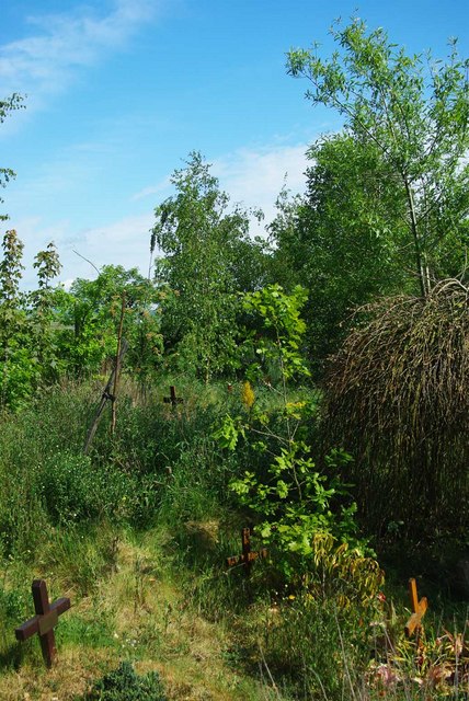
Image: © Glyn Baker Taken: 8 May 2011
My prediction made in 2005 see Image is rapidly becoming true you can't see Feldy Marshes any more because of the trees!
Images are licensed for reuse under creativecommons.org/licenses/by-sa/2.0
Image Location


Leaflet Map data © OpenStreetMap
Latitude
51.782429
Longitude
0.905322