New development and roadway
Introduction
The photograph on this page of New development and roadway by Jonathan Thacker as part of the Geograph project.
The Geograph project started in 2005 with the aim of publishing, organising and preserving representative images for every square kilometre of Great Britain, Ireland and the Isle of Man.

There are currently over 7.5m images from over 14,400 individuals and you can help contribute to the project by visiting https://www.geograph.org.uk
New development and roadway
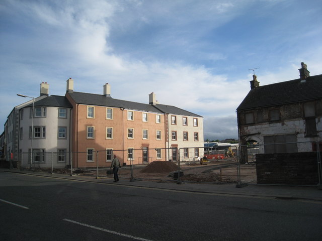
Image: © Jonathan Thacker Taken: 9 May 2011
These new houses are built in an acceptable local style. the new road will link Victoria Road with Southend Road.
Images are licensed for reuse under creativecommons.org/licenses/by-sa/2.0
Image Location
Latitude
54.661322
Longitude
-2.749648