Kirikintilloch, Luggie Water
Introduction
The photograph on this page of Kirikintilloch, Luggie Water by Robert Murray as part of the Geograph project.
The Geograph project started in 2005 with the aim of publishing, organising and preserving representative images for every square kilometre of Great Britain, Ireland and the Isle of Man.

There are currently over 7.5m images from over 14,400 individuals and you can help contribute to the project by visiting https://www.geograph.org.uk
Kirikintilloch, Luggie Water
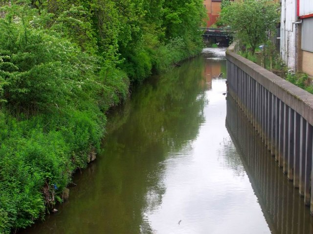
Image: © Robert Murray Taken: 11 May 2011
Canal like appearance on this stretch in the centre of Kirkie. The high deep piled bank is the answer to a history of flooding.
Images are licensed for reuse under creativecommons.org/licenses/by-sa/2.0
Image Location
Latitude
55.942315
Longitude
-4.155697