View near Haremoor Farm
Introduction
The photograph on this page of View near Haremoor Farm by Des Blenkinsopp as part of the Geograph project.
The Geograph project started in 2005 with the aim of publishing, organising and preserving representative images for every square kilometre of Great Britain, Ireland and the Isle of Man.

There are currently over 7.5m images from over 14,400 individuals and you can help contribute to the project by visiting https://www.geograph.org.uk
View near Haremoor Farm
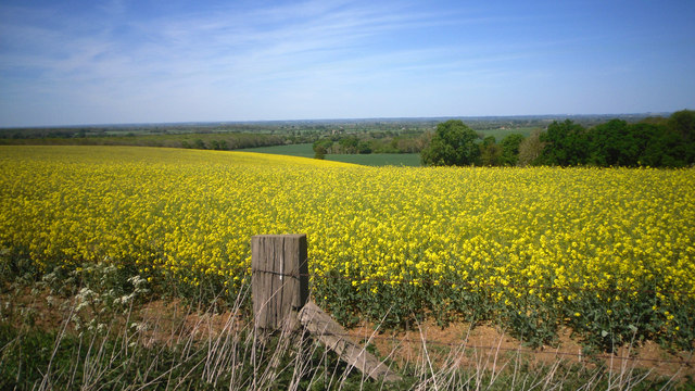
Image: © Des Blenkinsopp Taken: 2 May 2011
The Jurassic Corallian Limestone forms a line of low hills in between the Downs and the Cotswolds. Seldom getting much above the 120 metre contour, that is enough to give wide views like this over the Thames valley to the north.
Images are licensed for reuse under creativecommons.org/licenses/by-sa/2.0
Image Location


Leaflet Map data © OpenStreetMap
Latitude
51.66531
Longitude
-1.566774