King Street
Introduction
The photograph on this page of King Street by Anne Burgess as part of the Geograph project.
The Geograph project started in 2005 with the aim of publishing, organising and preserving representative images for every square kilometre of Great Britain, Ireland and the Isle of Man.

There are currently over 7.5m images from over 14,400 individuals and you can help contribute to the project by visiting https://www.geograph.org.uk
King Street
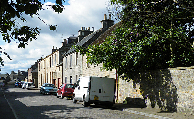
Image: © Anne Burgess Taken: 11 May 2011
King Street, now a cul-de-sac, was one of the streets in the Cathedral precinct where the manses of the Cathedral officers stood in mediaeval times. The present houses are mainly of early 19th century date.
Images are licensed for reuse under creativecommons.org/licenses/by-sa/2.0
Image Location
Latitude
57.649348
Longitude
-3.306167