Looking SW from the edge of Trehafod railway station
Introduction
The photograph on this page of Looking SW from the edge of Trehafod railway station by Jaggery as part of the Geograph project.
The Geograph project started in 2005 with the aim of publishing, organising and preserving representative images for every square kilometre of Great Britain, Ireland and the Isle of Man.

There are currently over 7.5m images from over 14,400 individuals and you can help contribute to the project by visiting https://www.geograph.org.uk
Looking SW from the edge of Trehafod railway station
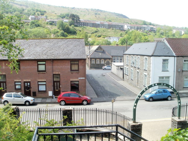
Image: © Jaggery Taken: 6 May 2011
In the foreground is Trehafod Road and, next to the red car, houses in Bethel Court. The building in the middle distance is Hafod Primary School. http://www.geograph.org.uk/photo/2397518
Images are licensed for reuse under creativecommons.org/licenses/by-sa/2.0
Image Location
Latitude
51.607873
Longitude
-3.38336