View across Llandre
Introduction
The photograph on this page of View across Llandre by Bill Boaden as part of the Geograph project.
The Geograph project started in 2005 with the aim of publishing, organising and preserving representative images for every square kilometre of Great Britain, Ireland and the Isle of Man.

There are currently over 7.5m images from over 14,400 individuals and you can help contribute to the project by visiting https://www.geograph.org.uk
View across Llandre
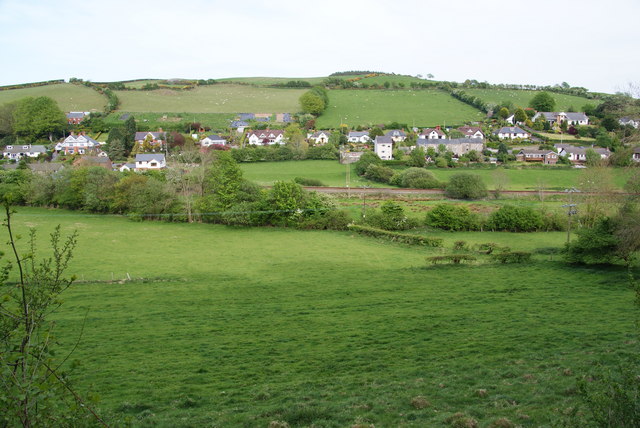
Image: © Bill Boaden Taken: 1 May 2011
The village has houses clustered along the road on each side of the valley, with the railway in between. On the far side, the houses follow the line of the B4353 to Borth.
Images are licensed for reuse under creativecommons.org/licenses/by-sa/2.0
Image Location
Latitude
52.460917
Longitude
-4.023311