Chiltern Way at Wigginton
Introduction
The photograph on this page of Chiltern Way at Wigginton by David Hawgood as part of the Geograph project.
The Geograph project started in 2005 with the aim of publishing, organising and preserving representative images for every square kilometre of Great Britain, Ireland and the Isle of Man.

There are currently over 7.5m images from over 14,400 individuals and you can help contribute to the project by visiting https://www.geograph.org.uk
Chiltern Way at Wigginton
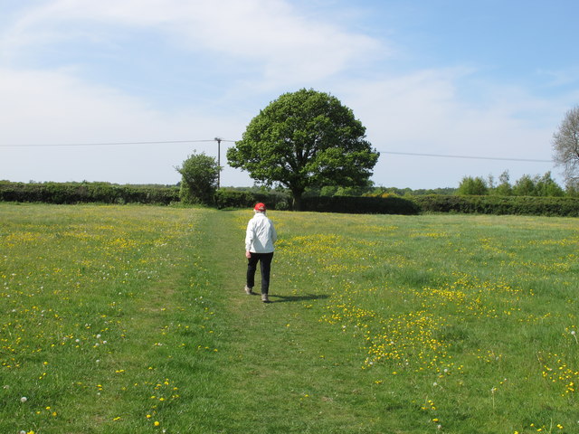
Image: © David Hawgood Taken: 1 May 2011
A long distance path. Here it goes across a pasture field with buttercups.
Images are licensed for reuse under creativecommons.org/licenses/by-sa/2.0
Image Location
Latitude
51.775582
Longitude
-0.640266