Southdowns Park
Introduction
The photograph on this page of Southdowns Park by Nigel Freeman as part of the Geograph project.
The Geograph project started in 2005 with the aim of publishing, organising and preserving representative images for every square kilometre of Great Britain, Ireland and the Isle of Man.

There are currently over 7.5m images from over 14,400 individuals and you can help contribute to the project by visiting https://www.geograph.org.uk
Southdowns Park
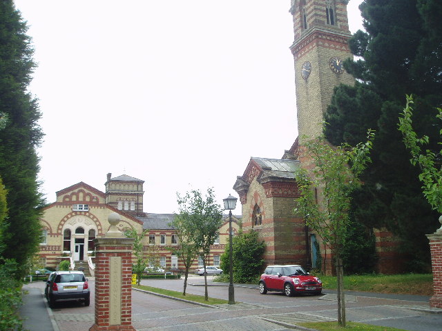
Image: © Nigel Freeman Taken: 5 Jul 2005
Originally the Sussex County Lunatic Asylum (1859) it changed its name to St Francis when coming within the NHS in 1948. It closed and the listed building has been converted into private housing.
Images are licensed for reuse under creativecommons.org/licenses/by-sa/2.0
Image Location


Leaflet Map data © OpenStreetMap
Latitude
50.989105
Longitude
-0.097845