Sloe Lane (track)
Introduction
The photograph on this page of Sloe Lane (track) by David Anstiss as part of the Geograph project.
The Geograph project started in 2005 with the aim of publishing, organising and preserving representative images for every square kilometre of Great Britain, Ireland and the Isle of Man.

There are currently over 7.5m images from over 14,400 individuals and you can help contribute to the project by visiting https://www.geograph.org.uk
Sloe Lane (track)
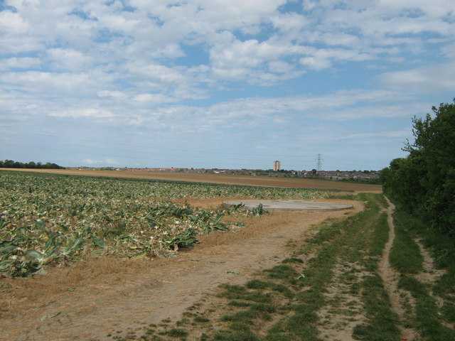
Image: © David Anstiss Taken: 8 May 2011
This track (and footpath) leads from the A254 Ramsgate towards the A255 Dane Court. It passes a hidden underground water reservoir. In the background is the suburbs of Cliftonville.
Images are licensed for reuse under creativecommons.org/licenses/by-sa/2.0
Image Location
Latitude
51.366451
Longitude
1.396761