Track through Hurn Forest
Introduction
The photograph on this page of Track through Hurn Forest by mike smith as part of the Geograph project.
The Geograph project started in 2005 with the aim of publishing, organising and preserving representative images for every square kilometre of Great Britain, Ireland and the Isle of Man.

There are currently over 7.5m images from over 14,400 individuals and you can help contribute to the project by visiting https://www.geograph.org.uk
Track through Hurn Forest
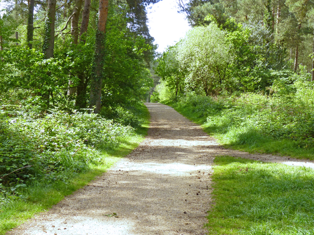
Image: © mike smith Taken: 10 May 2011
This track is a designated footpath and cycle track through the forest. Hurn Forest is owned by the Forestry Commission.
Images are licensed for reuse under creativecommons.org/licenses/by-sa/2.0
Image Location
Latitude
50.78998
Longitude
-1.819917