Torfaen Terrace, Pontnewynydd
Introduction
The photograph on this page of Torfaen Terrace, Pontnewynydd by Jaggery as part of the Geograph project.
The Geograph project started in 2005 with the aim of publishing, organising and preserving representative images for every square kilometre of Great Britain, Ireland and the Isle of Man.

There are currently over 7.5m images from over 14,400 individuals and you can help contribute to the project by visiting https://www.geograph.org.uk
Torfaen Terrace, Pontnewynydd
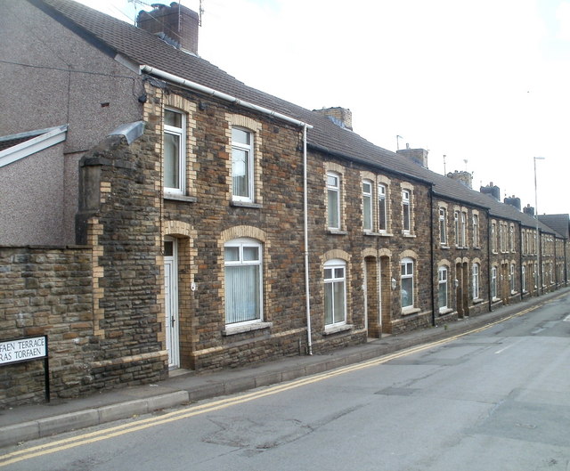
Image: © Jaggery Taken: 9 May 2011
On Freeholdland Road immediately south of the Afon Lwyd river bridge, this long row of houses is named Torfaen Terrace. The houses are numbered separately from other Freeholdland Road houses.
Images are licensed for reuse under creativecommons.org/licenses/by-sa/2.0
Image Location
Latitude
51.713774
Longitude
-3.056566