Footpath from Hildersham towards Great Abington
Introduction
The photograph on this page of Footpath from Hildersham towards Great Abington by Rob Noble as part of the Geograph project.
The Geograph project started in 2005 with the aim of publishing, organising and preserving representative images for every square kilometre of Great Britain, Ireland and the Isle of Man.

There are currently over 7.5m images from over 14,400 individuals and you can help contribute to the project by visiting https://www.geograph.org.uk
Footpath from Hildersham towards Great Abington
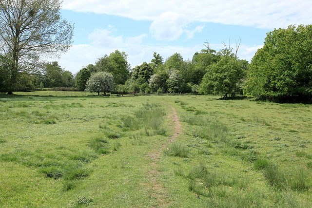
Image: © Rob Noble Taken: 8 May 2011
Raised footpath across a meadow which presumably forms part of a floodplain for the River Granta.
Images are licensed for reuse under creativecommons.org/licenses/by-sa/2.0
Image Location
Latitude
52.114328
Longitude
0.246105