Road junction on Lindenthorpe Road
Introduction
The photograph on this page of Road junction on Lindenthorpe Road by David Anstiss as part of the Geograph project.
The Geograph project started in 2005 with the aim of publishing, organising and preserving representative images for every square kilometre of Great Britain, Ireland and the Isle of Man.

There are currently over 7.5m images from over 14,400 individuals and you can help contribute to the project by visiting https://www.geograph.org.uk
Road junction on Lindenthorpe Road
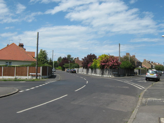
Image: © David Anstiss Taken: 8 May 2011
Lindenthorpe Road leads up from Crow Hill, towards Baird's Hill. Carlton Avenue leads left towards Broadstairs High Street. Stanley Road leads right towards Callis Court Road.
Images are licensed for reuse under creativecommons.org/licenses/by-sa/2.0
Image Location
Latitude
51.365292
Longitude
1.436478