Coleheath Bottom
Introduction
The photograph on this page of Coleheath Bottom by Graham Horn as part of the Geograph project.
The Geograph project started in 2005 with the aim of publishing, organising and preserving representative images for every square kilometre of Great Britain, Ireland and the Isle of Man.

There are currently over 7.5m images from over 14,400 individuals and you can help contribute to the project by visiting https://www.geograph.org.uk
Coleheath Bottom
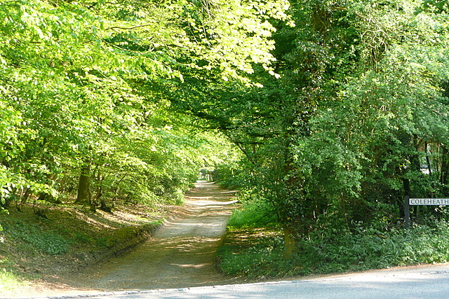
Image: © Graham Horn Taken: 30 Apr 2011
This bridleway off Hampden Road also provides an access track to a number of houses. It is a convenient footpath through woodland between Montkton Wood and the eastern side of Speen.
Images are licensed for reuse under creativecommons.org/licenses/by-sa/2.0
Image Location
Latitude
51.694245
Longitude
-0.783194