Chesterfield - waterworks building on Hady Hill
Introduction
The photograph on this page of Chesterfield - waterworks building on Hady Hill by Dave Bevis as part of the Geograph project.
The Geograph project started in 2005 with the aim of publishing, organising and preserving representative images for every square kilometre of Great Britain, Ireland and the Isle of Man.

There are currently over 7.5m images from over 14,400 individuals and you can help contribute to the project by visiting https://www.geograph.org.uk
Chesterfield - waterworks building on Hady Hill
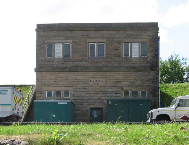
Image: © Dave Bevis Taken: 8 May 2011
The "C&BWB" date stone relates to the Chesterfield & Bolsover Water Board. The site is now run by Severn Trent.
Images are licensed for reuse under creativecommons.org/licenses/by-sa/2.0
Image Location
Latitude
53.235444
Longitude
-1.404272