Path on old railway track
Introduction
The photograph on this page of Path on old railway track by John Sutton as part of the Geograph project.
The Geograph project started in 2005 with the aim of publishing, organising and preserving representative images for every square kilometre of Great Britain, Ireland and the Isle of Man.

There are currently over 7.5m images from over 14,400 individuals and you can help contribute to the project by visiting https://www.geograph.org.uk
Path on old railway track
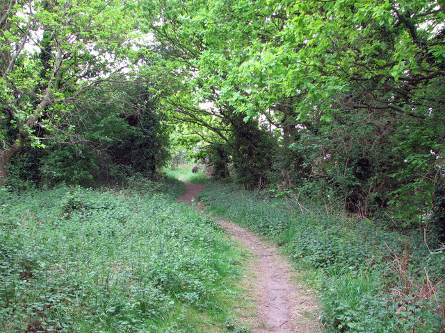
Image: © John Sutton Taken: 6 May 2011
This line, jointly owned by the Great Central and Great Northern Railways, was built in 1898 to join the then new GCR main line at Bulwell Common and the existing GNR Leen Valley line; it also led to Bestwood Colliery. The line closed, along with the rest of the GC and GN lines north of Nottingham, in 1968 and the embankment now carries a footpath along the edge of Bulwell Forest Golf Club.
Images are licensed for reuse under creativecommons.org/licenses/by-sa/2.0
Image Location
Latitude
53.010507
Longitude
-1.186789