
The Elmgreen School
Introduction
The photograph on this page of The Elmgreen School by Derek Harper as part of the Geograph project.
The Geograph project started in 2005 with the aim of publishing, organising and preserving representative images for every square kilometre of Great Britain, Ireland and the Isle of Man.

There are currently over 7.5m images from over 14,400 individuals and you can help contribute to the project by visiting https://www.geograph.org.uk
The Elmgreen School
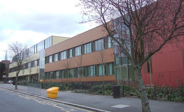
Image: © Derek Harper Taken: 11 Mar 2011
A view of Image from the other direction. "Following a public consultation in October 2003, a group of 40 parents formed The Parent Promoters Foundation (PPF). Working in partnership with Lambeth Local Authority, the PPF successfully campaigned to raise the necessary £25 million funding via the Building Schools for the Future programme" http://en.wikipedia.org/wiki/Elmgreen_School . "The design was ... developed using the analogy of a medieval city where buildings, of subject areas, are grouped around a central market square" http://www.newlondonarchitecture.org/project.php?id=507&name=theelmgreenschool . That sounds rather like resource-based learning.
Images are licensed for reuse under creativecommons.org/licenses/by-sa/2.0
Image Location

Latitude
51.438841
Longitude
-0.103248