Chapel Pill inlet at low tide - River Avon
Introduction
The photograph on this page of Chapel Pill inlet at low tide - River Avon by Anthony O'Neil as part of the Geograph project.
The Geograph project started in 2005 with the aim of publishing, organising and preserving representative images for every square kilometre of Great Britain, Ireland and the Isle of Man.

There are currently over 7.5m images from over 14,400 individuals and you can help contribute to the project by visiting https://www.geograph.org.uk
Chapel Pill inlet at low tide - River Avon
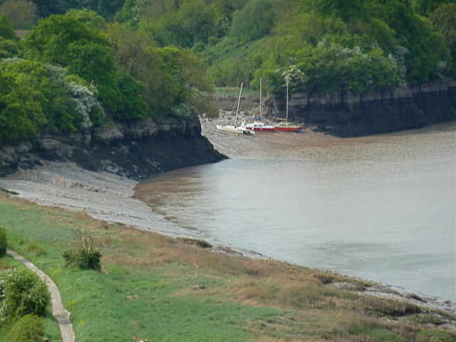
Image: © Anthony O'Neil Taken: 1 May 2011
There is a glimpse of the Avon Trail to the left.
Images are licensed for reuse under creativecommons.org/licenses/by-sa/2.0
Image Location


Leaflet Map data © OpenStreetMap
Latitude
51.481949
Longitude
-2.668136