Mount Adon Park, SE22
Introduction
The photograph on this page of Mount Adon Park, SE22 by Derek Harper as part of the Geograph project.
The Geograph project started in 2005 with the aim of publishing, organising and preserving representative images for every square kilometre of Great Britain, Ireland and the Isle of Man.

There are currently over 7.5m images from over 14,400 individuals and you can help contribute to the project by visiting https://www.geograph.org.uk
Mount Adon Park, SE22
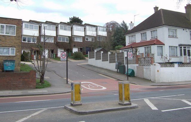
Image: © Derek Harper Taken: 11 Mar 2011
A road that twists around the western flanks of Dawson's hill, seen here across the A2216 Lordship Lane.
Images are licensed for reuse under creativecommons.org/licenses/by-sa/2.0
Image Location
Latitude
51.44633
Longitude
-0.07171