Woodland by the Wayoh reservoir
Introduction
The photograph on this page of Woodland by the Wayoh reservoir by Phil and Juliette Platt as part of the Geograph project.
The Geograph project started in 2005 with the aim of publishing, organising and preserving representative images for every square kilometre of Great Britain, Ireland and the Isle of Man.

There are currently over 7.5m images from over 14,400 individuals and you can help contribute to the project by visiting https://www.geograph.org.uk
Woodland by the Wayoh reservoir
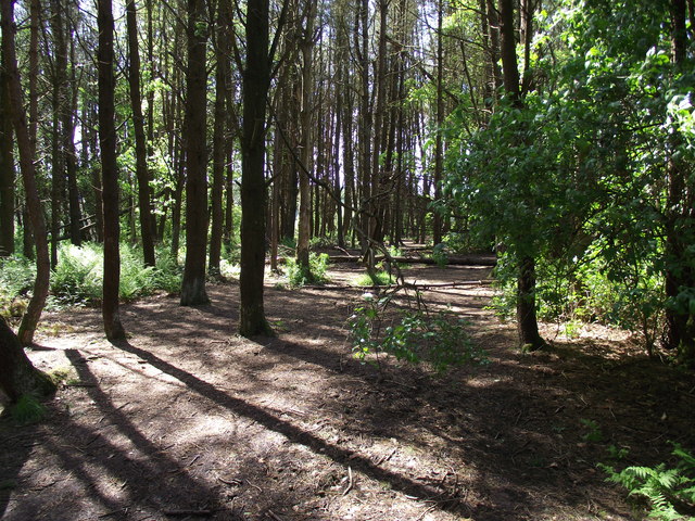
Image: © Phil and Juliette Platt Taken: 8 May 2011
A number of shallow rooted conifers in this woodland have fallen, but the path is still walkable.
Images are licensed for reuse under creativecommons.org/licenses/by-sa/2.0
Image Location
Latitude
53.648286
Longitude
-2.402518