Double bend
Introduction
The photograph on this page of Double bend by Penny Mayes as part of the Geograph project.
The Geograph project started in 2005 with the aim of publishing, organising and preserving representative images for every square kilometre of Great Britain, Ireland and the Isle of Man.

There are currently over 7.5m images from over 14,400 individuals and you can help contribute to the project by visiting https://www.geograph.org.uk
Double bend
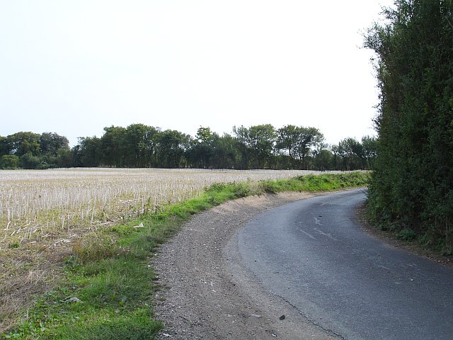
Image: © Penny Mayes Taken: 13 Sep 2006
On Elverland Lane - the lane continues along the visible hedge line. I'm told these double right-angled bends, often found on country lanes, relate to ploughing headlands and the turning circle of a horse-drawn plough but I've never been able to see how that works, especially on a field of this shape. Maybe there were trees and the original track took the line of least resistance.
Images are licensed for reuse under creativecommons.org/licenses/by-sa/2.0
Image Location
Latitude
51.291409
Longitude
0.829736