Houses on Crewe Street, Seahouses
Introduction
The photograph on this page of Houses on Crewe Street, Seahouses by Phil Champion as part of the Geograph project.
The Geograph project started in 2005 with the aim of publishing, organising and preserving representative images for every square kilometre of Great Britain, Ireland and the Isle of Man.

There are currently over 7.5m images from over 14,400 individuals and you can help contribute to the project by visiting https://www.geograph.org.uk
Houses on Crewe Street, Seahouses
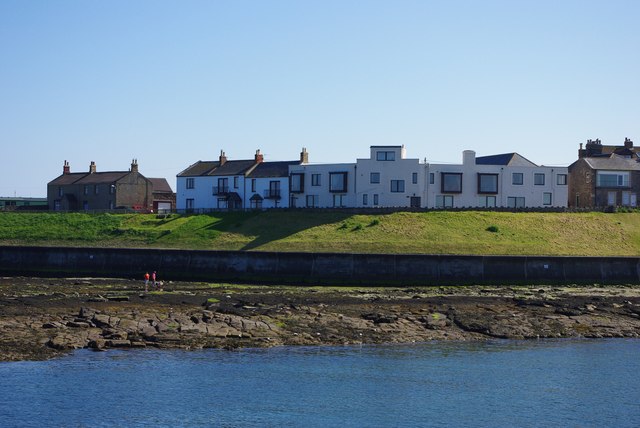
Image: © Phil Champion Taken: 28 Apr 2011
Looking across the harbour. The land on that side is protected by a substantial sea wall. The east side of the outer harbour dries out at low tide.
Images are licensed for reuse under creativecommons.org/licenses/by-sa/2.0
Image Location


Leaflet Map data © OpenStreetMap
Latitude
55.581869
Longitude
-1.649726