Brownsover Farmland
Introduction
The photograph on this page of Brownsover Farmland by Ian Rob as part of the Geograph project.
The Geograph project started in 2005 with the aim of publishing, organising and preserving representative images for every square kilometre of Great Britain, Ireland and the Isle of Man.

There are currently over 7.5m images from over 14,400 individuals and you can help contribute to the project by visiting https://www.geograph.org.uk
Brownsover Farmland
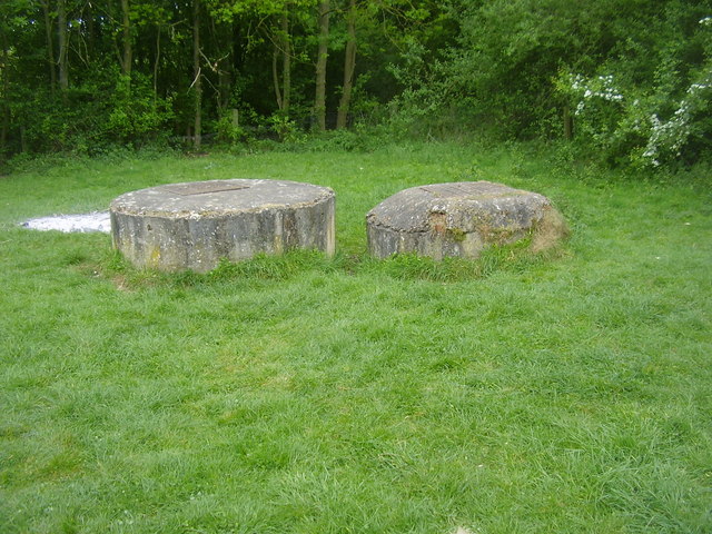
Image: © Ian Rob Taken: 5 May 2011
Raised drain covers between the railway embankment and the river.
Images are licensed for reuse under creativecommons.org/licenses/by-sa/2.0
Image Location


Leaflet Map data © OpenStreetMap
Latitude
52.384804
Longitude
-1.239618