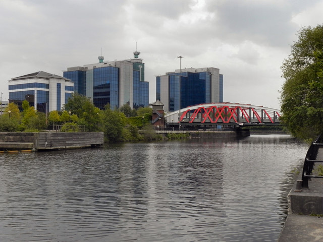
Manchester Ship Canal, Trafford Road Bridge
Introduction
The photograph on this page of Manchester Ship Canal, Trafford Road Bridge by David Dixon as part of the Geograph project.
The Geograph project started in 2005 with the aim of publishing, organising and preserving representative images for every square kilometre of Great Britain, Ireland and the Isle of Man.
There are currently over 7.5m images from over 14,400 individuals and you can help contribute to the project by visiting https://www.geograph.org.uk

Image: © David Dixon Taken: 5 May 2011
The Trafford Road Swing Bridge, which was built by John Butler & Co in 1892, is the largest and by far the widest of the swing bridges constructed for the Manchester Ship Canal. The bridge lies between the main Manchester Docks and Pomona Docks and carries the A5063 road across the Ship canal. It was designed to carry road traffic over the canal but was able to swing to allow ships to pass into and out of Pomona Docks. The hydraulic operating station was located immediately adjacent on the north bank of the canal. As the volume of traffic using the road over the bridge increased, Trafford Road Swing Bridge became inadequate for the traffic conditions in this very busy area. Following the closure of the docks there was no longer any need for the bridge to swing and consequently, in 1998 the Trafford Road Swing Bridge was refurbished and fixed in place as part of a scheme to widen the road crossing to a dual carriageway, with a new bridge built alongside it on the eastern side. http://manchesterhistory.net/manchester/outside/traffordbridge.html Manchester History Net

