Bethesda Street, Trehafod
Introduction
The photograph on this page of Bethesda Street, Trehafod by Jaggery as part of the Geograph project.
The Geograph project started in 2005 with the aim of publishing, organising and preserving representative images for every square kilometre of Great Britain, Ireland and the Isle of Man.

There are currently over 7.5m images from over 14,400 individuals and you can help contribute to the project by visiting https://www.geograph.org.uk
Bethesda Street, Trehafod
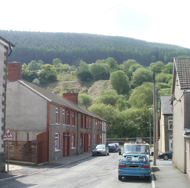
Image: © Jaggery Taken: 6 May 2011
Houses on the SE side of the street, viewed from near the former Bethesda chapel, http://www.geograph.org.uk/photo/2397459 now flats. At the end of the street is a flood defence wall http://www.geograph.org.uk/photo/2397500 http://www.geograph.org.uk/photo/2397505 along the north bank of the River Rhondda.
Images are licensed for reuse under creativecommons.org/licenses/by-sa/2.0
Image Location
Latitude
51.60789
Longitude
-3.381917