Flats in former Bethesda Chapel, Trehafod
Introduction
The photograph on this page of Flats in former Bethesda Chapel, Trehafod by Jaggery as part of the Geograph project.
The Geograph project started in 2005 with the aim of publishing, organising and preserving representative images for every square kilometre of Great Britain, Ireland and the Isle of Man.

There are currently over 7.5m images from over 14,400 individuals and you can help contribute to the project by visiting https://www.geograph.org.uk
Flats in former Bethesda Chapel, Trehafod
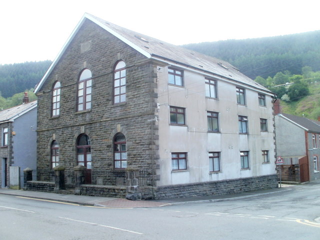
Image: © Jaggery Taken: 6 May 2011
The former chapel, built in the 1880s on the corner of Trehafod Road and Bethesda Street, has been converted to flats.
Images are licensed for reuse under creativecommons.org/licenses/by-sa/2.0
Image Location
Latitude
51.608806
Longitude
-3.3805