Former Trehafod post office
Introduction
The photograph on this page of Former Trehafod post office by Jaggery as part of the Geograph project.
The Geograph project started in 2005 with the aim of publishing, organising and preserving representative images for every square kilometre of Great Britain, Ireland and the Isle of Man.

There are currently over 7.5m images from over 14,400 individuals and you can help contribute to the project by visiting https://www.geograph.org.uk
Former Trehafod post office
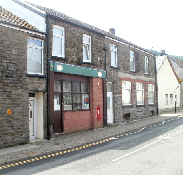
Image: © Jaggery Taken: 6 May 2011
Located at 110 Trehafod Road. The disappearance of the name of the post office, which had begun in this view http://www.geograph.org.uk/photo/1217341 is now complete. A Post Office notice on a window states: "Following a local public consultation process we have recently announced the decision to close this branch as part of a national Network Change Programme. We can confirm that this branch will close on the following date: Friday 29th February 2008 We do hope that you continue to use the alternative branches in your area, please see the decision poster for full details on the locations and services." The Edward VII postbox http://www.geograph.org.uk/photo/2397422 in the wall is in very good condition and looks like it was recently repainted.
Images are licensed for reuse under creativecommons.org/licenses/by-sa/2.0
Image Location
Latitude
51.608823
Longitude
-3.379057