Fountain Street, Trehafod
Introduction
The photograph on this page of Fountain Street, Trehafod by Jaggery as part of the Geograph project.
The Geograph project started in 2005 with the aim of publishing, organising and preserving representative images for every square kilometre of Great Britain, Ireland and the Isle of Man.

There are currently over 7.5m images from over 14,400 individuals and you can help contribute to the project by visiting https://www.geograph.org.uk
Fountain Street, Trehafod
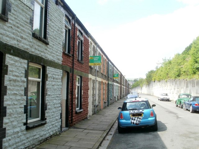
Image: © Jaggery Taken: 6 May 2011
Street at the NE edge of Trehafod. All the houses are on one side of the street, facing the wall at the edge of the A4058. Hafod (railway) Junction was formerly nearby.
Images are licensed for reuse under creativecommons.org/licenses/by-sa/2.0
Image Location
Latitude
51.60884
Longitude
-3.377613