2011 : Fields and view from the lane east of Cranmore
Introduction
The photograph on this page of 2011 : Fields and view from the lane east of Cranmore by Maurice Pullin as part of the Geograph project.
The Geograph project started in 2005 with the aim of publishing, organising and preserving representative images for every square kilometre of Great Britain, Ireland and the Isle of Man.

There are currently over 7.5m images from over 14,400 individuals and you can help contribute to the project by visiting https://www.geograph.org.uk
2011 : Fields and view from the lane east of Cranmore
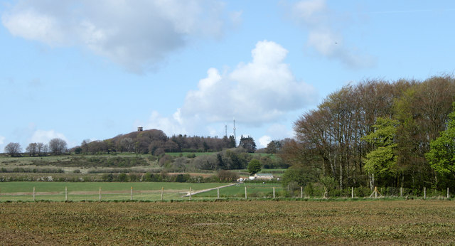
Image: © Maurice Pullin Taken: 12 Apr 2011
Cranmore Tower Image] lifts its head above surrounding trees on the horizon. A small beech wood begins showing its leaves, the foreground field looks a little sad, not sure what crop it contains.
Images are licensed for reuse under creativecommons.org/licenses/by-sa/2.0
Image Location
Latitude
51.192312
Longitude
-2.465885